
Nicole Guzzo is a graphic designer and typographer located in Boston, MA.
 About
Contact
Work
About
Contact
Work
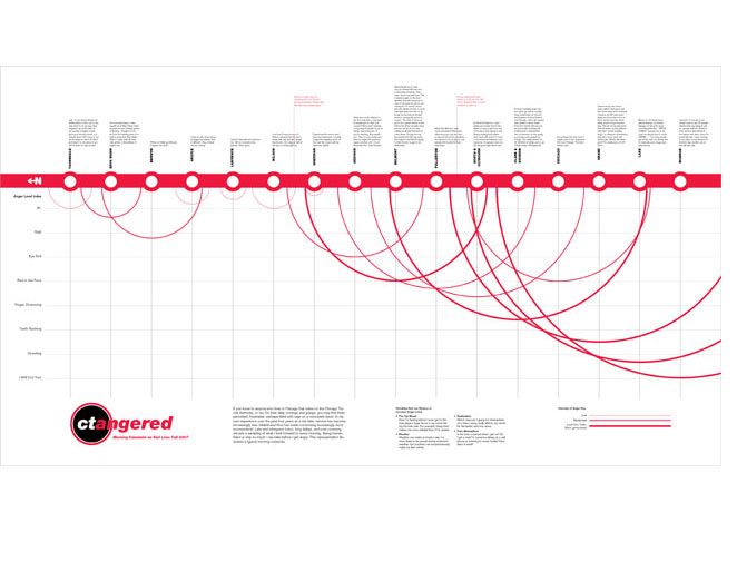
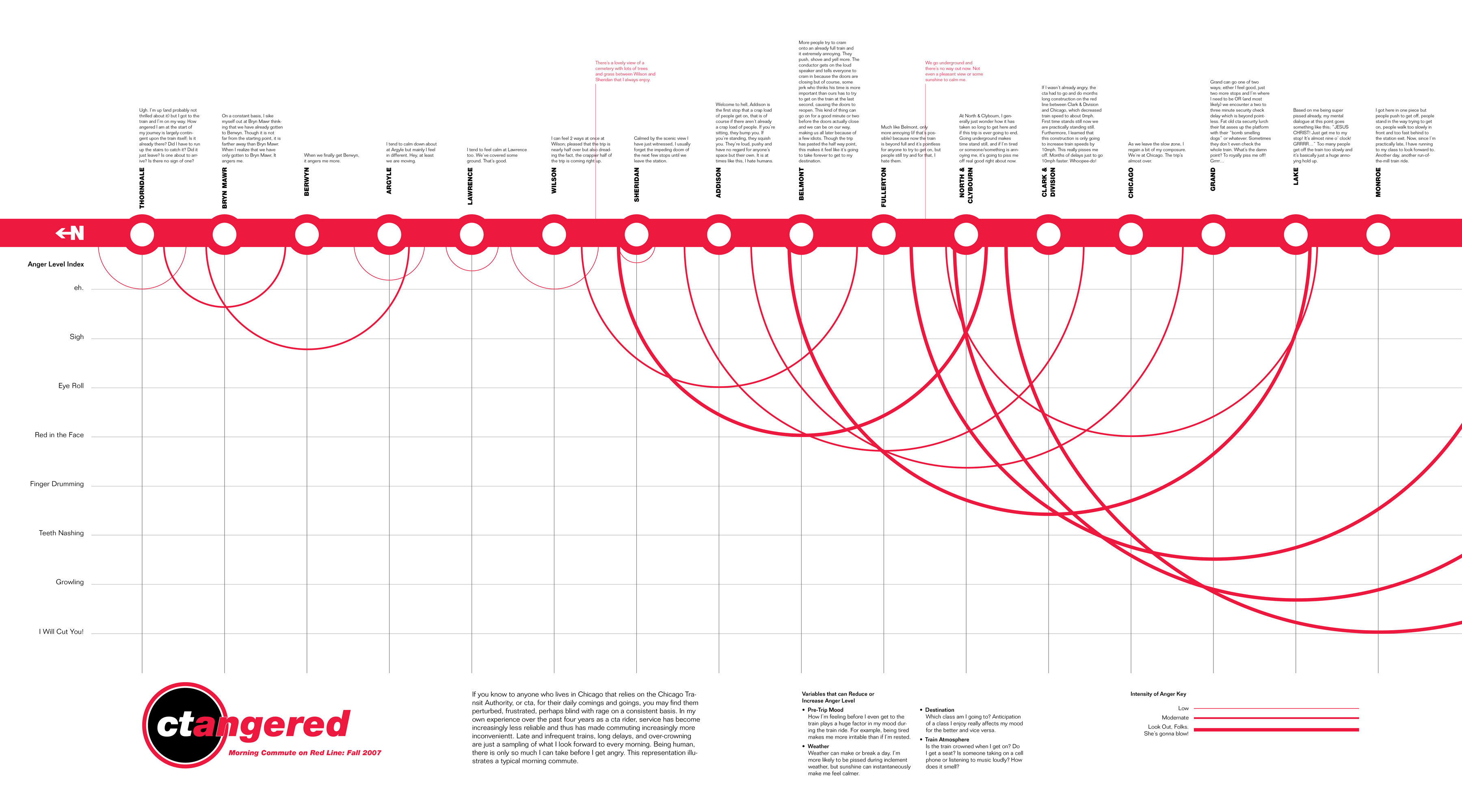
ctangered Information Graphic
Full-sized graphic here. This was a fun, little project done for a class on maps and mapping. At the time I lived on the far north side of Chicago and took the Chicago Transit Authority's (cta) red line train to school daily. There were massive repairs and updates being done to the entire line which made a normally sluggish commute in a crowded train more like a slug with a bum leg towing a trainload of human sardines. Thus, I devised this information graphic playing off the existing cta map to express and process that experience.